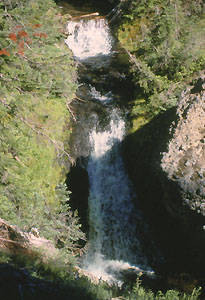
 Soda Creek Falls (u)
Rating: **
Form: tiered
Magnitude: 39
Access: trail (page 326)
USGS Map: Broken Top (1988 nl)
Edition: 3rd
Soda Creek Falls (u)
Rating: **
Form: tiered
Magnitude: 39
Access: trail (page 326)
USGS Map: Broken Top (1988 nl)
Edition: 3rd
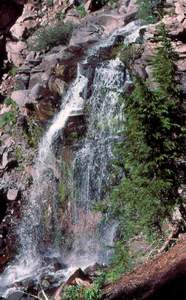 Crater Creek Falls (u)
Rating: **
Form: fan
Magnitude: 41
Access: trail and bushwhack (page 326)
USGS Map: Broken Top (1988 nl)
Edition: 3rd
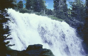 Fall Creek Falls
Rating: ***
Form: block
Magnitude: 61
Access: trail (page 327)
USGS Map: Broken Top (1988 nl)
Edition: 3rd
More
Click Here for Soda Spring Falls (u), USGS Broken Top (1988 ns).
Output the CLICK HERE page to match your hardcopy book by changing your printer settings to 9" x 5 3/4".
COPYRIGHT 2013 by Gregory A. Plumb
GUIDEBOOK published by
Mountaineers Books