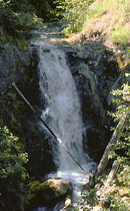
 Marble Creek Falls (u)
Rating: **
Form: horsetail
Magnitude: 41
Access: auto (page 188)
USGS Map: Gillette Mtn (1992 nl)
Edition: 1st
Marble Creek Falls (u)
Rating: **
Form: horsetail
Magnitude: 41
Access: auto (page 188)
USGS Map: Gillette Mtn (1992 nl)
Edition: 1st
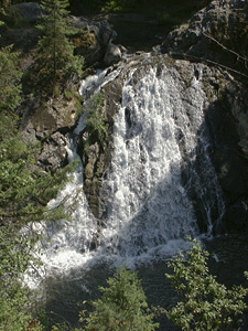 Douglas Falls
Rating: ***
Form: fan
Magnitude: 71
Access: auto (page 188)
USGS Map: Colville (1992)
Edition: 1st
More
Click Here for Mill Creek Falls (u), USGS Park Rapids (1992 nl).
Output the CLICK HERE page to match your hardcopy book by changing your printer settings to 9" x 5 3/4".
COPYRIGHT 2013 by Gregory A. Plumb
GUIDEBOOK published by
Mountaineers Books